


SASKATCHEWAN – A special weather statement has been issued for much of Saskatchewan.
According to the advisory, a low-pressure system is expected to develop just east of the Rocky Mountains over southern Alberta on Dec. 8, and then track southeast into southern Saskatchewan and western North Dakota the following day.
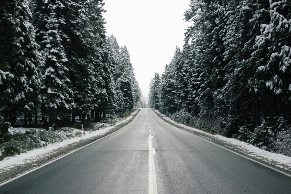
"A narrow band of freezing rain is possible beginning Tuesday morning, extending from Kindersley to Estevan, presenting potential hazardous travel conditions," the advisory states.
"As the system progresses eastward, heavier snowfall is likely across southeastern Saskatchewan and southwestern Manitoba, including the parklands. While exact accumulations remain uncertain, a general range of 10-20 centimetres is anticipated, with higher totals possible over elevated terrain."
Behind the system, Environment Canada said winds will strengthen and could produce blowing snow across southern Saskatchewan on Dec. 9. However, warmer air and the potential for freezing rain in southern areas may limit both snowfall and the extent of blowing snow.
The windiest locations are expected to see reduced new-snow amounts, except in southeast Saskatchewan where sufficient snowfall combined with stronger winds may still result in localized blowing snow.
Meteorologists are actively monitoring the evolving situation, and it is anticipated that warnings will be issued later today.
SaskToday will have updates as they become available.