Update:
SOUTHEAST SASKATCHEWAN — Southeast Saskatchewan continues to be subject to tornado warnings June 7.
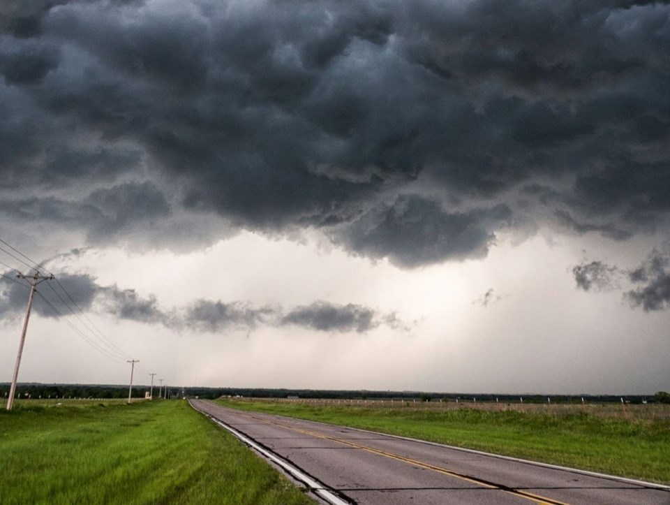
As of 8:33 p.m., Environment Canada said its meteorologists were tracking a severe thunderstorm that is possibly producing a tornado. The storm was near Corning and moving northeast at 60 kilometres per hour.
Communities in the RMs of Golden West, Hazelwood and Kingsley were affected.
The other warning states that meteorologists were tracking a separate storm. As of 8:36 p.m., the storm was near Alida and moving to the northeast at 75 kilometres per hour. Communities in the RMs of Antler, Moose Creek, Moose Mountain, Maryfield, Reciprocity and Walpole were affected.
"This is a very dangerous and potentially life-threatening situation," Environment Canada said.
Take cover immediately in a basement, interior room, or a sturdy shelter when threatening weather approaches. If no shelter is available, lie in a low spot and protect your head from flying debris.
A separate tornado warning, which covered the RMs of Antler, Mount Pleasant, Reciprocity and Storthoaks, has been cancelled.
Meanwhile, a couple of thunderstorm warnings for large areas have been issued. One is for the City and the RM of Estevan, and communities in nine other RMs. Wind gusts in Estevan have exceeded 100 kilometres an hour.
Environment Canada said its meteorologists were tracking a "dangerous" thunderstorm at 8:02 p.m. capable of producing damaging wind gusts, loonie to ping pong ball-sized hail and extremely heavy rain.
"An intense squall line is approaching the international border from North Dakota. Wind gusts to 130 kilometres per hour have been reported on the American side," the warning states.
The other is for communities in 24 RMs in southeast and east-central Saskatchewan, thanks to a large line of severe thunderstorms that has formed along the Saskatchewan-Manitoba border. These thunderstorms are moving north at 40 kilometres per hour.
***
Portions of southern Saskatchewan are once again subject to storm advisories.
For the second straight day, Environment Canada issued an orange-level tornado watch June 7 in the southeast. Communities in 29 RMs are affected, including the city of Estevan and the town of Carlyle.
Conditions are favourable for the development of severe thunderstorms which may produce tornadoes, the alert stated, with strong winds, large hail and heavy rain.
"A severe weather outbreak is expected today," Environment Canada said in the advisory. "Multiple thunderstorms will rapidly develop this afternoon along a stalled front over southeastern Saskatchewan and southwestern Manitoba. Significant severe weather, including tornadoes, is probable, continuing into the evening hours."
A tornado warning was in effect for the RMs of Brock, Browning, Moose Creek and Moose Mountain at one point on June 6. Numerous thunderstorm warnings were also issued during the day in southeast and east-central regions.
Meanwhile, a yellow-level thunderstorm watch has been issued in Regina, Moose Jaw and communities in 140 RMs in south-central, southeast and east-central Saskatchewan. Weyburn and Yorkton are among the affected communities.
"Isolated severe thunderstorms will form over portions of Saskatchewan west of a stalled weather front by the Manitoba border. These thunderstorms will be faster moving and mainly present a hazard of strong to severe wind gusts along with hail," the advisory stated.
SaskToday will have updates as they become available.