REGINA — Winter driving can be treacherous for drivers in the City of Regina, but a new interactive map will allow people to know when streets have been plowed.
Recently, the city launched its Winter Road Maintenance and Plowing Progress Map.
The map shows residents the current progress of snow clearing, estimated completion times, and when other routes are expected to be cleared.
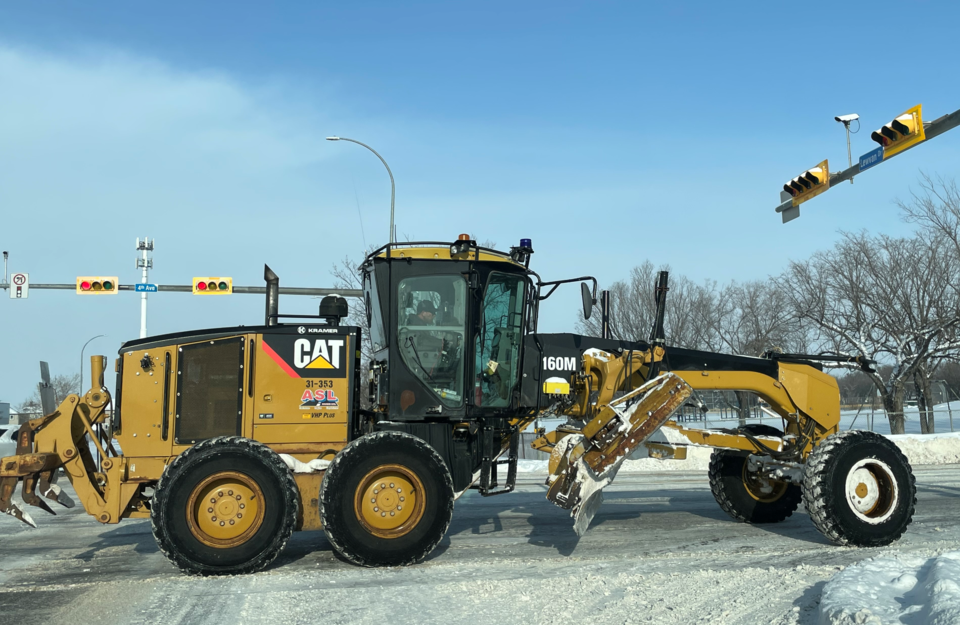
In November, Chris Warren, director of roadways and transportation for the City of Regina, explained that the map is updated by operators who have access to technology.
During snowplowing, the city prioritizes roads based on five categories.
The first category focuses on main roads, including Albert St. and Ring Road, when over five cm of snow falls. These roads are handled within a day.
Meanwhile, residential roads are under Category 5 and only receive plowing when over 15 cm of snow falls. However, there is no timeline for when the roads will be plowed.
To ensure drivers are aware of the road conditions for driving, Warren said the map will allow people to enter their destinations.
“The technology will be able to show which roads have been plowed and which ones haven't on their destination,” he explained.
Beyond updates, users can submit service-level requests to the city during a storm.
The map can also be adjusted from day to night, and has a satellite function.
On their website, the city advised residents that more updates are coming for the map.