


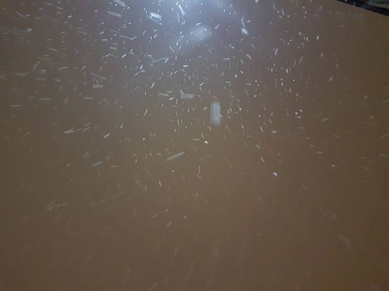
Alberta and Saskatchewan may see some of the white stuff over the long weekend thanks to a trough of cold air descending downwards from northern Canada.
The system will mostly affect Alberta, however the extreme southwest corner of Saskatchewan may be affected as well. According to the Weather Network forecast models, light snow is expected to start in the late hours of Friday in the Rocky Mountains, Grand Prairie, Hinton, Red Deer, and Edmonton areas where 5-10 cm may fall.
Calgary, Medicine Hat, Maple Creek, and Cypress Hills areas are expected to see less than 3 cm of snow starting on Saturday. Temperatures may dip to about -2 in the Maple Creek area on Saturday, Sunday, and Monday evenings. North Battleford and Meadow Lake areas are also expected to see light snow over the long weekend.
Meteorologists at the Weather Network say Saskatoon, Regina, Weyburn, Estevan, and Yorkton areas will be largely unaffected with snow, however temperatures will be much cooler. Regina’s high on Sunday is only 5 degrees and 6 on Monday.
Weather experts are trying to get an idea of what this winter’s weather will be like and they think it’ll be relatively mild thanks to El Nino. The Weather Network’s winter snapshot indicates December will be well above normal in most of Saskatchewan and Manitoba while January and February are also expected to be warmer than usual. They do say wintery intrusions like cold snaps and blizzard-like conditions are still possible, but they believe those conditions will be short lived.




Comments